Amelia Earhart’s Plane Found? The Taraia Object Was a Pile of Trees
| Missing since | July 2, 1937, central Pacific, en route from Lae to Howland Island |
| Aircraft | Lockheed Electra 10-E, bought with Purdue Research Foundation funds |
| 1937 search | Navy and Coast Guard, roughly 250,000 square miles, nothing found |
| 2026 expedition | Archaeological Legacy Institute and Purdue University, 17 people, Oct. 6-19, 2026 |
| 2026 target | The “Taraia Object,” Nikumaroro lagoon, Kiribati |
| Result | Most likely large trees with a carbonate coating, not aircraft wreckage; an unidentified 30-inch steel tube recovered |
The wing in the lagoon turned out to be trees
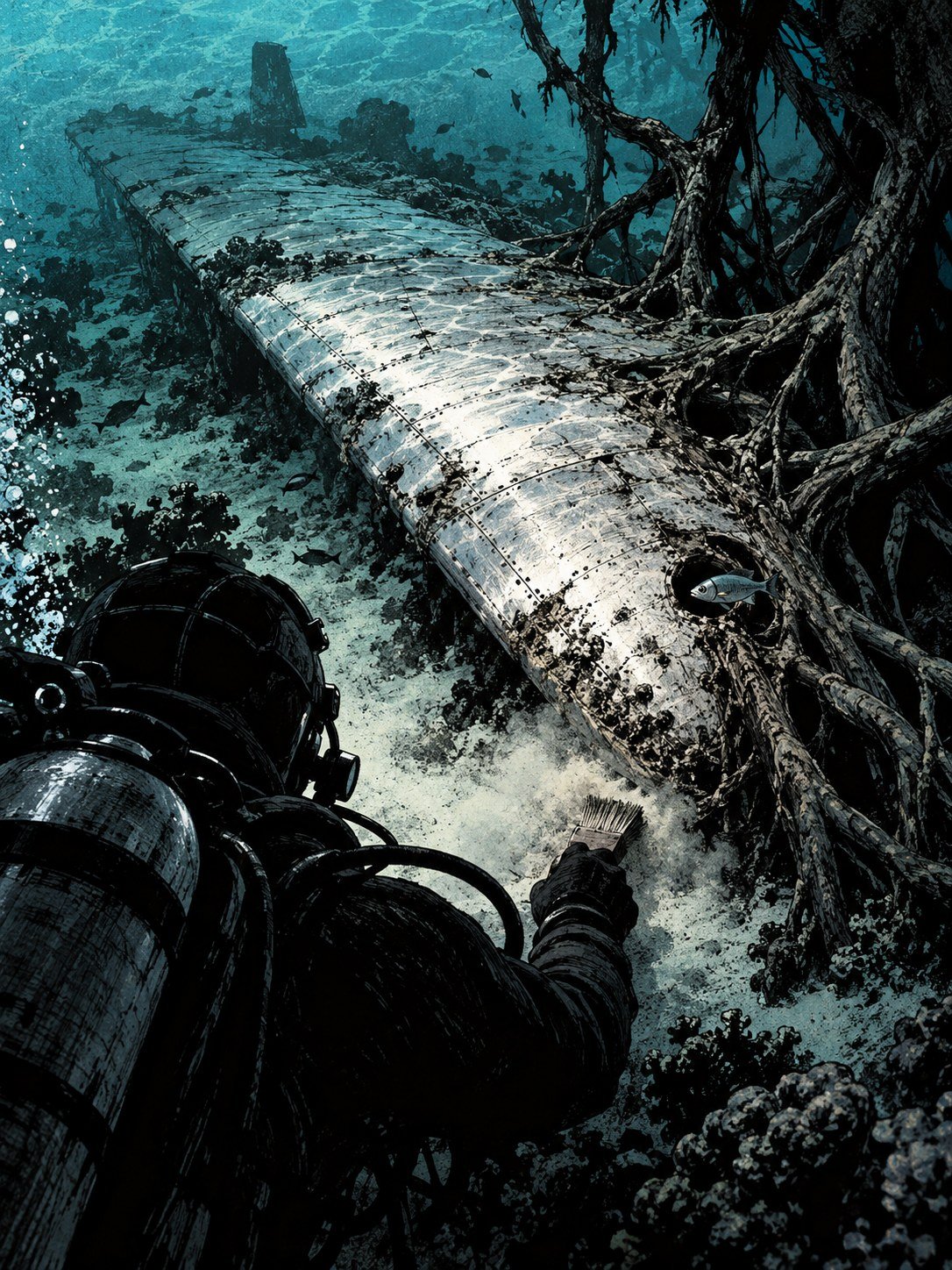
In October 2026, a team of 17 people sailed across the Pacific to a tiny, empty coral atoll. They had one job. Find out whether a pale shape in its lagoon was the wreck of Amelia Earhart’s airplane.
The shape had been sitting in satellite photos for years. From above, it looked long, flat and bright, a little like a wing. If it was real, it could end one of the oldest mysteries in aviation.
The team brought sonar, which maps the bottom with sound, and a magnetometer, which picks up metal hidden under sand. They worked in the lagoon off a strip of land called the Taraia Peninsula.
What they found was not a wing. It was not an engine or a piece of the tail. According to the researchers, it was most likely a cluster of large trees.
To understand why anyone crossed an ocean for that, you have to go back 89 years. To a plane running out of fuel. (AVweb)
Fuel almost gone, and the island nowhere in sight
July 2, 1937. Amelia Earhart and her navigator, Fred Noonan, were flying a silver twin-engine Lockheed Electra 10-E over the central Pacific.
They had taken off from Lae, New Guinea. Their target was Howland Island, a speck of land in the middle of the ocean. Earhart planned to refuel there and keep going.
Out there, there are no roads and no landmarks. Just water in every direction. Finding one small island meant getting the navigation exactly right, with no GPS and no radar.
By that morning, the plane’s fuel was nearly used up. Somewhere below them was the island they needed. They could not see it.
On the ground, or rather on the water, people were listening for them. A ship was waiting near Howland with its radio on.
What it heard next would be argued over for the rest of the century.
The last message gave a line, but no starting point
The ship was the U.S. Coast Guard cutter Itasca. Its radio operators were stationed near Howland to guide Earhart in.
At 8:43 a.m., they picked up a transmission from the Electra. According to the radio log kept in the National Archives, it placed the plane “on line 157-337 and running north and south.”
That sounds precise. It is not. The numbers describe a compass line running from roughly south-southeast to north-northwest. It tells you the direction the plane was flying back and forth. It does not tell you where that line was.
Think of someone calling you to say they are walking north and south on a street, without saying which street. The message had no reference point.
It was the last transmission the Itasca heard. After that, the radio went quiet.
Earhart and Noonan were never heard from again. (Britannica)
Two-thirds of the way around the world
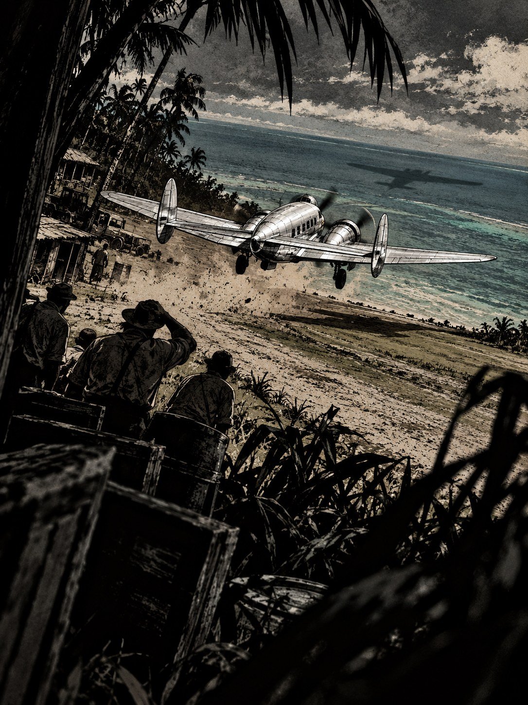
To see why that silence shocked the world, look at where the flight began.
Earhart was trying to become the first woman to fly around the world. This was not a quick hop. The full trip was planned at about 29,000 miles, longer than the distance around the Earth at the equator.
By the time the Electra roared down the runway at Lae, New Guinea, she and Noonan had already covered some 22,000 miles. They were more than two-thirds of the way home.
From Lae, the next leg crossed the open Pacific to Howland Island, where the plane was due to refuel.
It was a two-person crew. Earhart flew the plane. Fred Noonan, her navigator, had to plot a course to a target almost too small to see.
Everything depended on finding that island before the fuel ran out.
It did not appear. (Britannica)
An island smaller than a city park, and a smoke signal
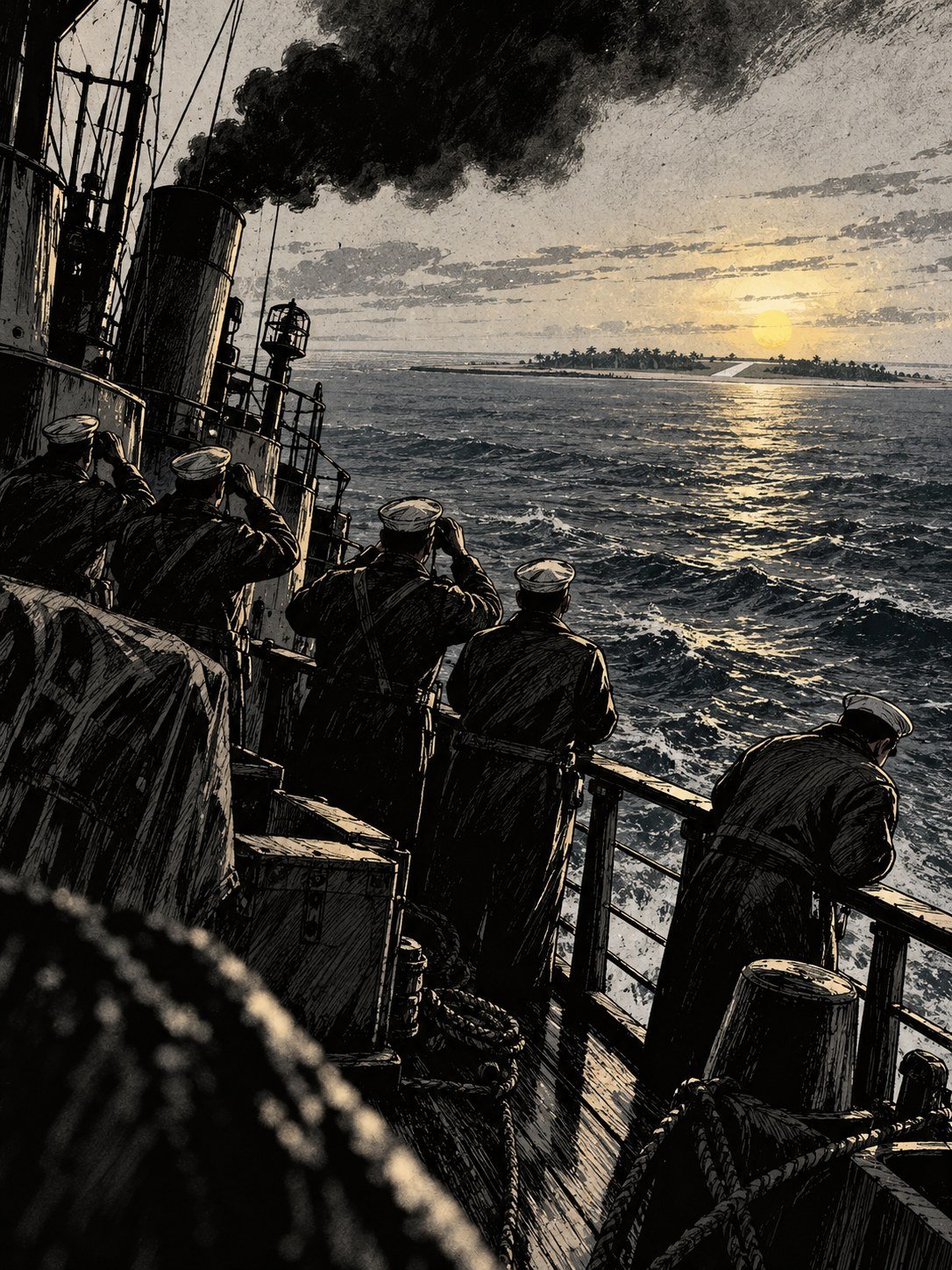
Howland Island is tiny. It is roughly two miles long and half a mile wide. On a map of the Pacific, it is a dot you could cover with a grain of rice.
Now imagine trying to find it from the air after a long flight over open water, with no GPS and no radar. A small navigation error at the start could put you miles off by the end. At that point, a flat island barely above the waves can be invisible.
The Coast Guard knew this. The Itasca was stationed near Howland to help. It sent up smoke, a column that could in theory be spotted from far away.
According to Purdue University’s archive, the fliers apparently never saw it.
The plane was somewhere near. The island was right there. The smoke was rising. None of it connected.
They searched an ocean nearly the size of Texas
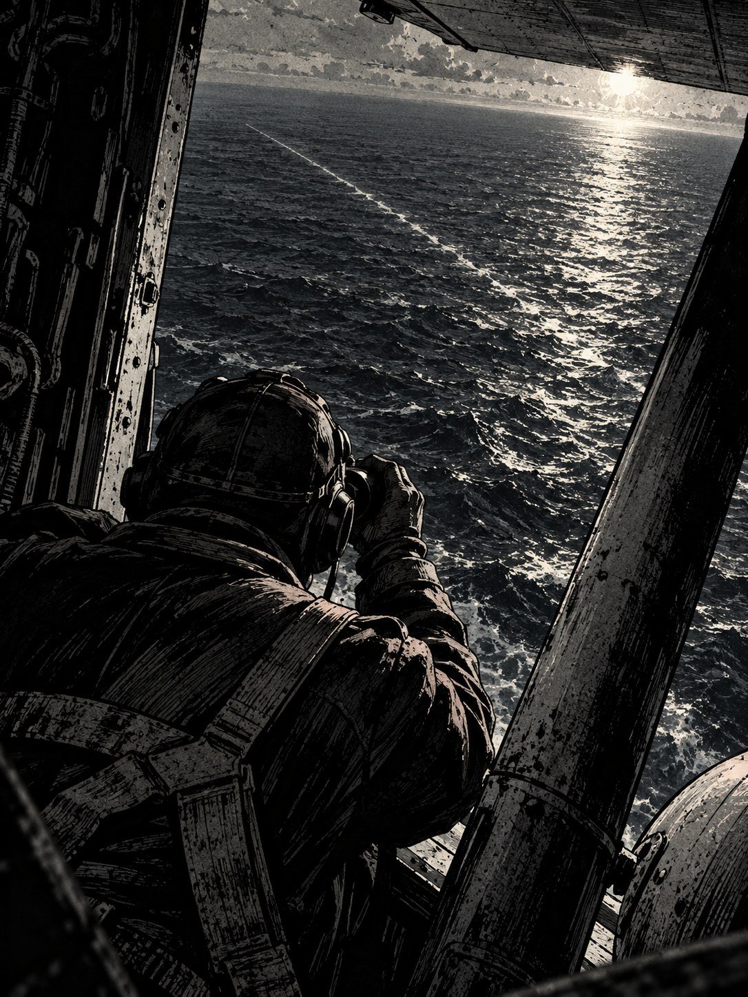
When the Electra did not land, the U.S. Navy and Coast Guard launched a huge search.
From July 7 to 12, three floatplanes from the battleship USS Colorado flew over the waters around Howland and the Phoenix Islands. In mid-July, the aircraft carrier USS Lexington took over, with 63 aircraft.
One Lexington pilot, Francis Foley, later put the area covered at 250,000 square miles, “an area the size of Texas.” Texas itself covers about 268,600 square miles. Other accounts give somewhat different totals, but every version is enormous.
Crews looked down at mile after mile of open water. They found no trace of the plane. Nothing.
Then the search was called off. The Navy’s conclusion was the simplest one. Earhart had most likely run out of fuel and gone down at sea.
Not everyone accepted that. (Britannica)
A whole country waited by the radio

The disappearance did not stay a Navy matter.
Across the country, people waited by their radios for news of Amelia Earhart and Fred Noonan. Their flight had been an attempt at a world first, and now it had simply stopped.
No good news came. The search ended without a single piece of the plane.
Earhart was declared legally dead on January 5, 1939, about a year and a half after she vanished. The Navy’s verdict, that the plane ran out of fuel and went down at sea, became the official explanation.
A legal declaration closed the paperwork. It did not close the question. The ocean had given back nothing, and nothing is very hard to accept.
So people started looking somewhere other than the water. One place in particular kept coming up: a small atoll that Navy planes had flown right over during the 1937 search.
What if she never hit the water at all?

Some researchers believe Earhart and Noonan did not crash into the sea. They think the pair landed on a different island and survived there, at least for a while, as castaways.
That island is Nikumaroro, an uninhabited coral atoll in what is now the country of Kiribati. In 1937 it was called Gardner Island.
An atoll is a ring of coral and sand around a shallow lagoon, often with only a few strips of land above the water. Nikumaroro is remote, with no town and no permanent residents.
Here is one detail that keeps the theory alive. On July 9, 1937, planes from the USS Colorado flew right over Gardner Island. One pilot, John Lambrecht, wrote that “signs of recent habitation were clearly visible.”
The official report by Captain Friedell says the opposite: no one seen, no signs of habitation. The two accounts have never been reconciled.
Someone was wrong. Nobody knows who.
A cosmetic jar, pieces of shoes, and bones that vanished

Over the years, searchers on Nikumaroro turned up objects that seemed to fit the castaway story. An old cosmetic jar. Pieces of shoes.
None of it has ever been definitively tied to Earhart. Old objects wash up and get left behind on remote islands for all kinds of reasons.
The most important find came much earlier. In 1940, human bones and artifacts were found on Gardner Island.
Those bones could have settled a lot. Instead, they were later lost. Today, the only evidence is old measurements, and they are read in two directions. A physician in Fiji judged the bones probably male. A 2018 analysis suggests a woman of Earhart’s stature.
There is also the Bevington Object, a photo of the reef taken about three months after the disappearance. Some believe it shows landing gear. That has never been confirmed.
Every clue seemed to point to the island. None of them could prove it.
A man zoomed into a satellite map and saw a wing
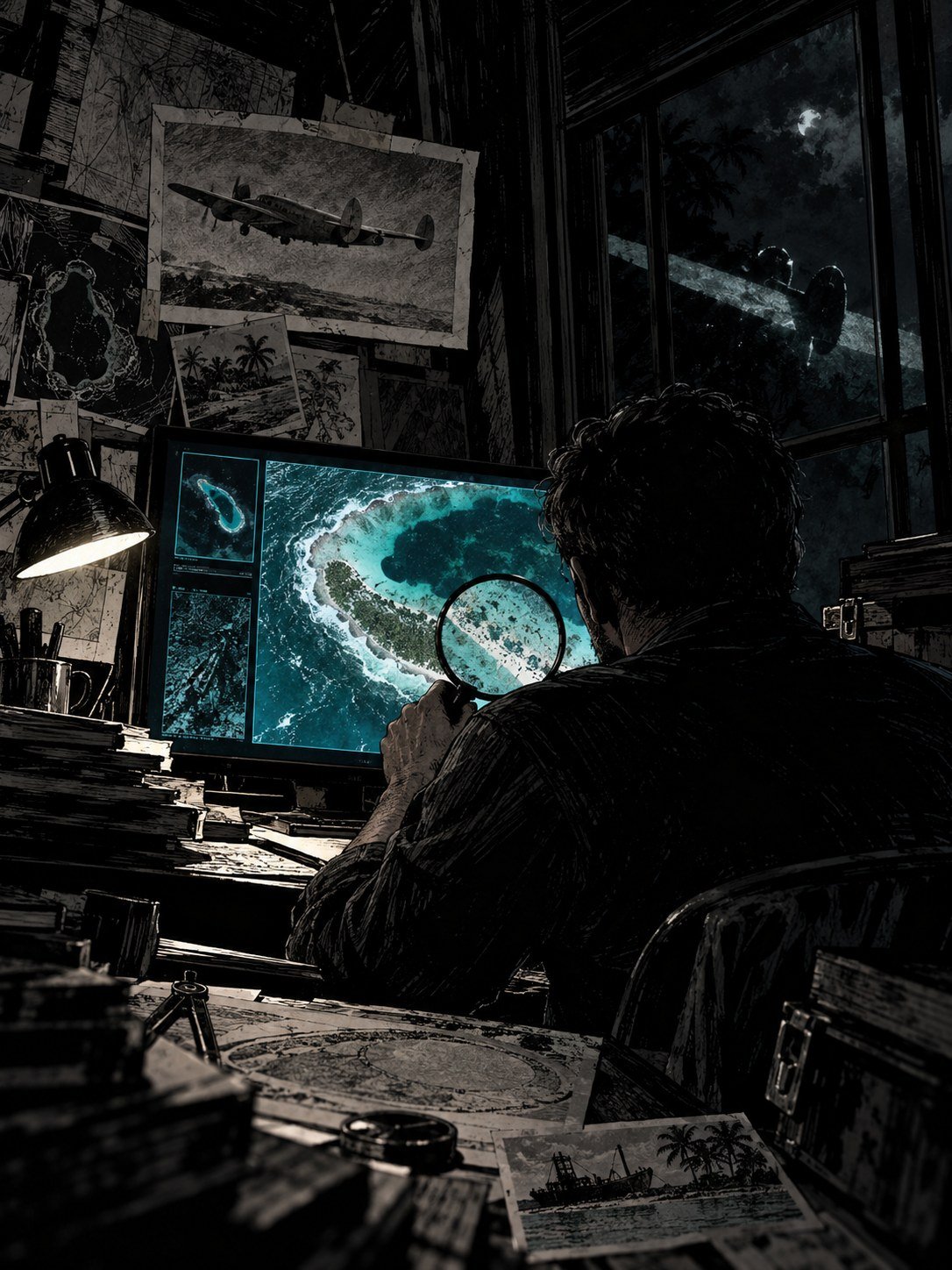
In 2020, a researcher named Michael Ashmore was looking at an Apple Maps image of Nikumaroro.
In the lagoon off the Taraia Peninsula, he noticed something odd: a long, pale shape lying in the shallow water. To people who had spent years on the castaway theory, it looked a lot like a piece of an airplane.
It became known as the Taraia Object.
There was a catch hiding in the old satellite images. The Archaeological Legacy Institute later reviewed 26 of them, from 2009 to 2021. The shape does not show up at first. It first appears on April 27, 2015, shortly after Cyclone Pam swept through the region.
A plane that went missing in 1937 should not pop into view in 2015. But a storm can move a lot of material around a lagoon, and covered things can be uncovered.
The only way to find out was to go and look. (AP via ABC30)
Purdue paid for that plane. She meant to bring it back

That is where Purdue University comes in. For Purdue, this search is personal.
Earhart worked at Purdue from 1935 to 1937. And the Purdue Research Foundation paid for the Lockheed Electra she was flying. She had planned to bring it back to the university after her trip.
So Purdue joined as co-lead of an expedition to find out what the Taraia Object really was. The lead organization was the Archaeological Legacy Institute, or ALI, based in Eugene, Oregon.
The plan was announced on July 2, 2025, exactly 88 years after the disappearance. It was later postponed to 2026.
Not everyone expected a plane. Ric Gillespie, a co-founder of the group TIGHAR, which has long searched Nikumaroro, had already suggested the shape might be a fallen tree. ALI argued against that explanation before the trip.
Only a team in the water could settle it. (AeroCorner)
Seventeen people, five days at sea
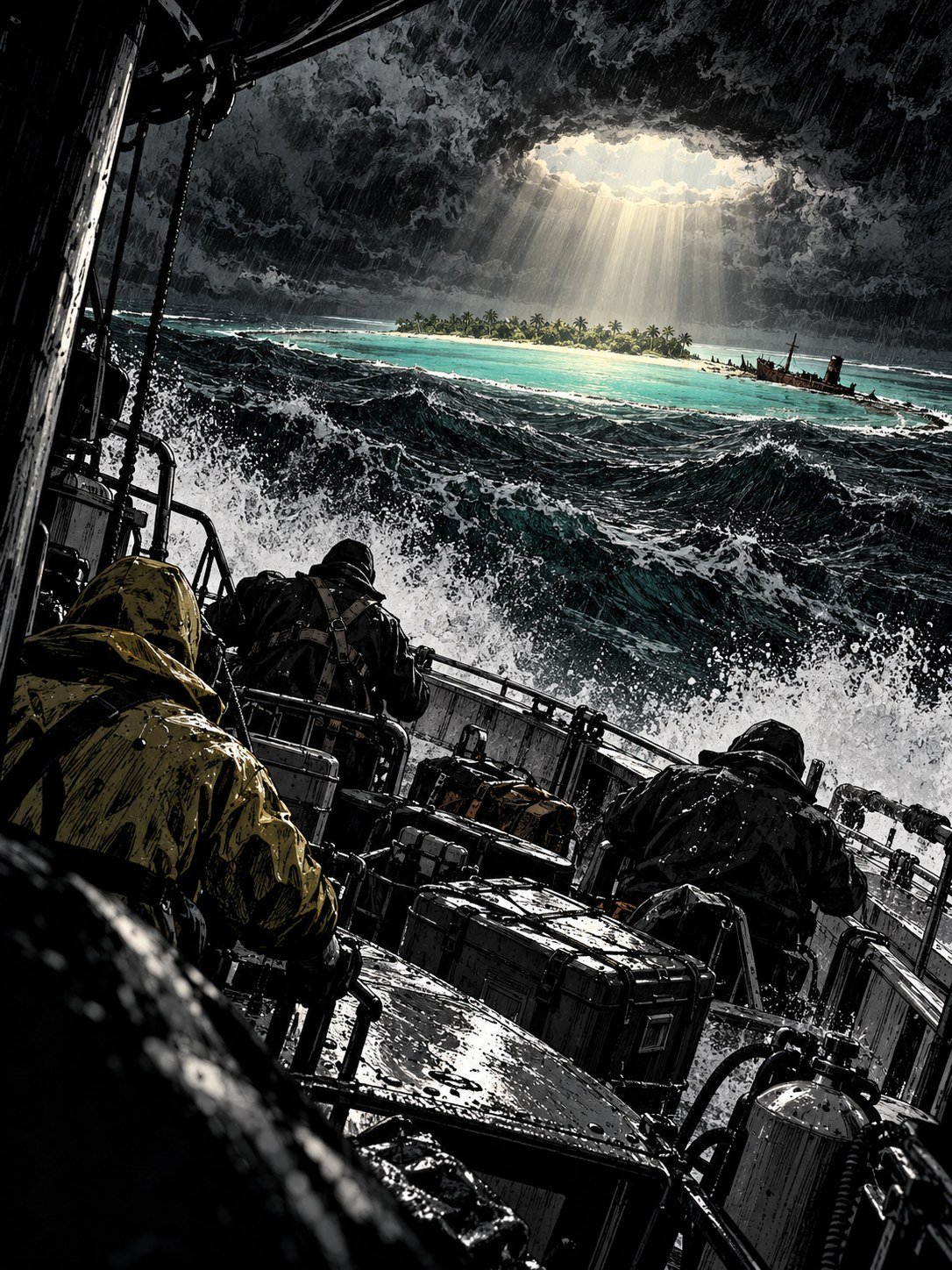
In October 2026, the expedition set off from Tarawa, in Kiribati.
The team was 17 people. Four were representatives of Kiribati, the country that Nikumaroro belongs to. Two were maritime archaeologists, specialists in studying wrecks and objects under water. Four were filmmakers.
Nikumaroro is so remote that getting there took five days at sea.
The team carried two main tools. Sonar sends sound pulses into the water and builds a picture from the echoes, like a bat finding its way in the dark. A magnetometer detects disturbances in the Earth’s magnetic field. Big pieces of metal, like an aircraft engine, can show up even when they are buried.
Between October 6 and 12, the team left Tarawa and reached the island. Purdue was the co-lead. ALI ran the expedition.
The equipment was ready. The lagoon was waiting. (AP via ABC30)
Scanning the spot where the shape had been
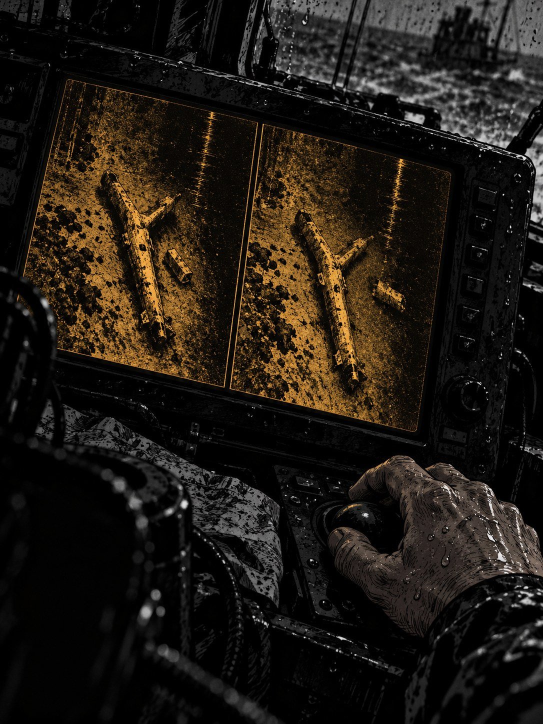
The team focused on the lagoon off the Taraia Peninsula, the exact place where the shape had been seen in the satellite pictures.
A lagoon survey is slow, careful work. A boat moves back and forth in lines, like someone mowing a lawn, while the sonar records the bottom underneath. The magnetometer listens for metal.
The magnetometer mattered most. The Electra was a metal, twin-engine airplane. If a large part of it lay in that lagoon, there should be a strong metal signal.
What they were hoping for was clear. If the Taraia Object was part of the Electra, it should have a shape that made sense for an aircraft, and there should be metal.
The satellite images had shown a large shape. The question was what was still there, and what it was made of.
The team went in for a closer look.
Most of it had already washed away
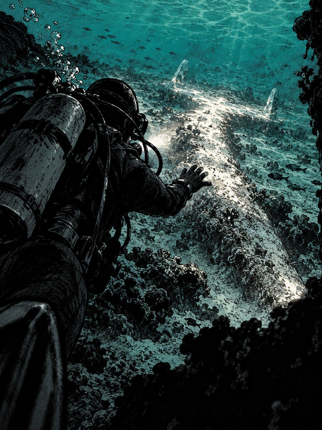
Up close, the first surprise was how little there was.
Much of the debris seen from above had washed away. A lagoon is not a museum. Tides, currents and storms push sand and loose material around, sometimes a lot of it, sometimes very fast.
Remember, the shape had first shown up right after a cyclone in 2015. Whatever had appeared then could just as easily be scattered again.
What remained was a single piece shaped like the letter Y.
It was pale. It had a coating on it, a crust that covered its surface. From the right angle, in the right light, it could look like something smooth and man-made.
The expedition found no conclusive evidence of the Electra anywhere in the lagoon.
Then the team looked closer at the Y. (AVweb)
It was never a wing

The researchers’ conclusion was blunt. The Taraia Object was not aircraft wreckage.
Purdue described it as “likely a collection of large trees deposited along the peninsula’s sandspit.” A sandspit is a narrow finger of sand that sticks out into the water, the kind of place where drifting material tends to pile up.
So what about the shine that had looked so much like metal from above? Purdue said it came from “its carbonate veneer.” In warm, shallow seawater, minerals can build up on submerged objects as a thin, pale crust. On wood, that crust can catch the sun and glint.
Ric Gillespie’s fallen-tree suggestion, made years earlier, now looked like the better guess.
The team announced the result on October 18 and 19, 2026. Both dates are correct. Nikumaroro is 17 hours ahead of Eastern time.
But the lagoon had one more thing in it. (AVweb)
A 30-inch steel tube nobody can explain yet

Near the Taraia Peninsula, the team recovered a steel tube about 30 inches long. That is roughly the length of a baseball bat.
Purdue has not identified it. Nobody has said how long it has been in the lagoon.
Researchers now plan to study whether objects drift into the lagoon through a channel called the Tatiman Passage and collect on the peninsula. If they do, a lot of what ends up on that shore could have come from anywhere.
So the tube is a question mark, not a clue. It may turn out to be modern. It may turn out to be nothing.
And this was not the first time a search had come back with less than it hoped. In 2019, the famed ocean explorer Robert Ballard searched around Nikumaroro.
He found nothing either. (AP via ABC30)
A plane on the seafloor that turned out to be rock
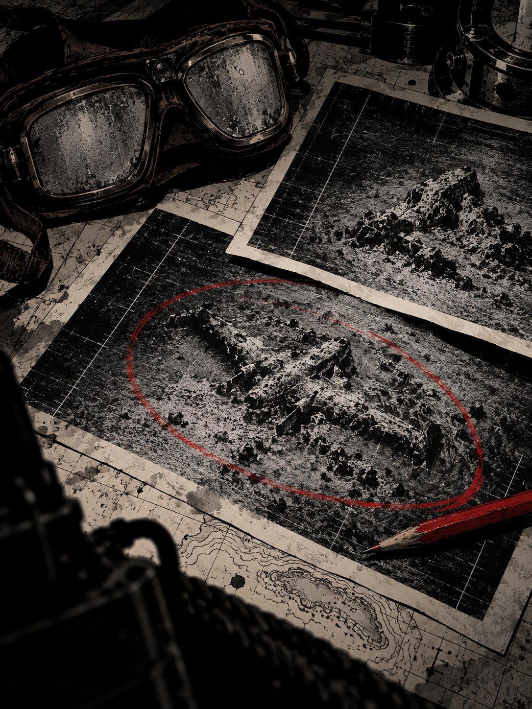
Not every search looks at Nikumaroro. Other researchers believe the plane went down at sea near Howland Island, exactly where the Navy thought it did.
In January 2024, a company called Deep Sea Vision captured a sonar image from the seafloor near Howland. It showed a shape that looked remarkably like a plane.
For most of that year, it stood as a serious lead.
In November 2024, Deep Sea Vision said the shape was a rock formation.
It is easy to see how that happens. Sonar does not take photos. It builds pictures from echoes, and an outcrop of rock lying at the right angle can throw back the same outline as a fuselage and wings.
Twice in two years, a perfect-looking shape had dissolved into nature. First rock. Then trees. (AP via ABC30)
Another team is already raising millions to try again
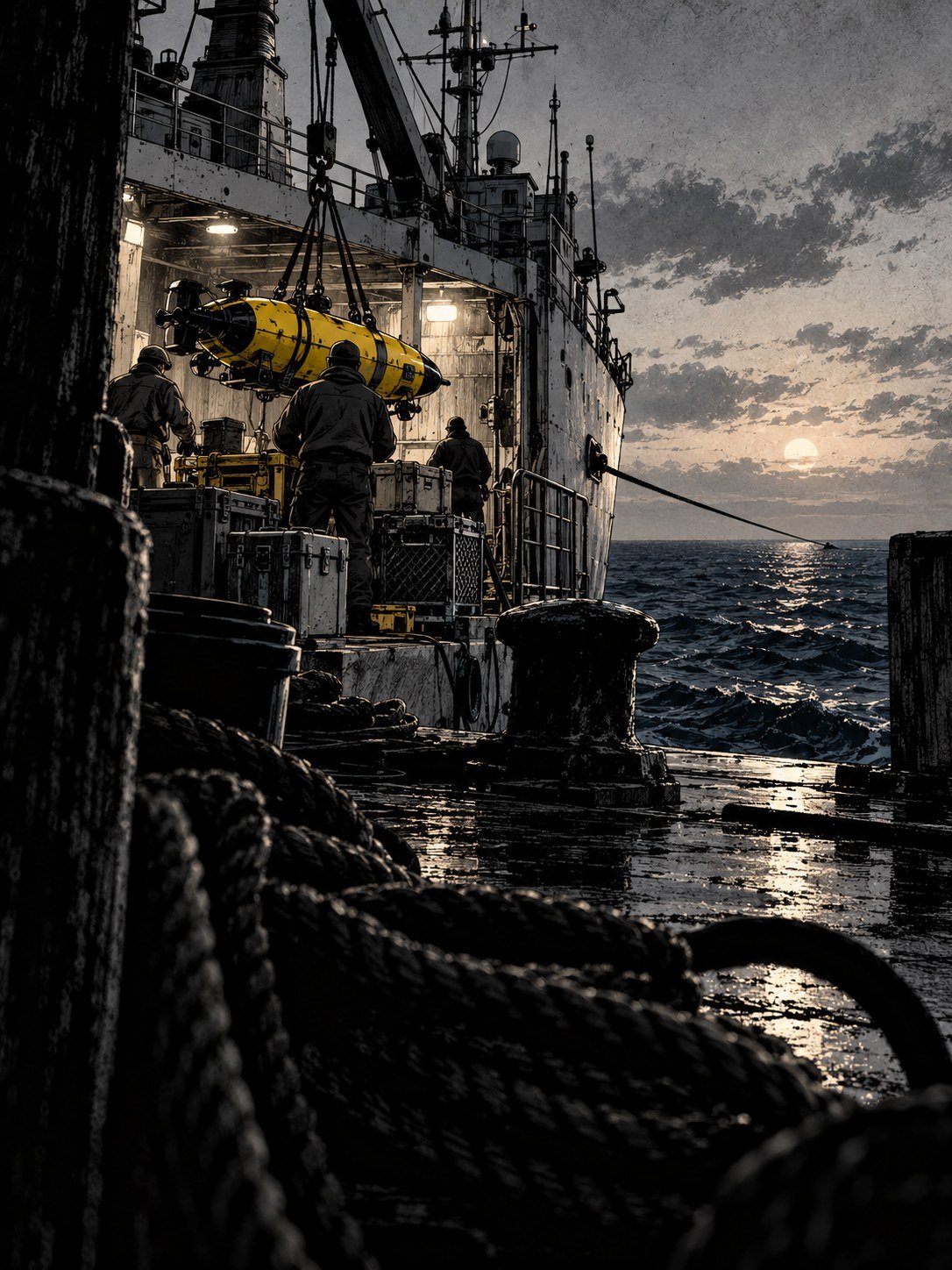
The search near Howland is not over. A group called Nauticos is trying to raise $8 million to $10 million for another attempt there. Whether it will get the money is still unknown.
To understand how hard this is, compare the numbers. Nauticos and the Waitt Institute together have surveyed about 3,610 square miles with sonar near Howland. Deep Sea Vision reports about 7,700.
That sounds like a lot. But in 1937, searchers scanned roughly 250,000 square miles from the air. Every modern sonar search combined covers only a small fraction of that.
The open ocean around Howland is not a shallow lagoon a diver can check in an afternoon. Every square mile has to be mapped from the surface.
Somewhere, maybe, the Electra is sitting on the bottom.
Finding it is a matter of money, time and luck. (AP via ABC30)
Four days ashore, and they still believe
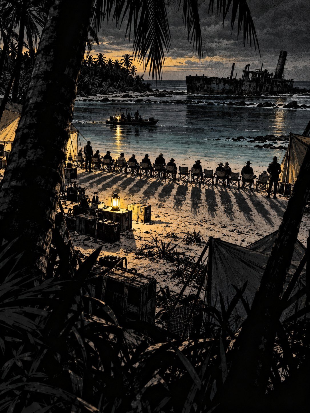
The 2026 team did not get much time on Nikumaroro. Severe weather kept interrupting the work. In the end, they got four days ashore.
Four days to survey a lagoon, examine the site and check whatever else they could reach. It is not much, after five days of sailing just to get there.
Even so, ruling out the Taraia Object did not change the team’s mind about the bigger picture. The team and Purdue still believe Earhart reached the island. They call the evidence for that “very, very strong.”
It is worth being clear about what the expedition tested. It tested one idea: that the shape in the lagoon was the plane. It did not test the whole castaway theory, which rests on the 1940 bones, the radio question, the Lambrecht report and the objects found on shore.
Purdue says only that the search continues.
Where it goes next has not been announced. (AP via ABC30)
A space waiting since 1937
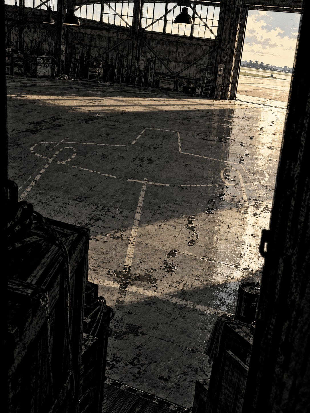
Back at Purdue, there is a place this story was always supposed to end.
The Electra was bought with Purdue Research Foundation funds. Earhart, who worked at Purdue from 1935 to 1937, had planned to bring it home to the university after her flight around the world.
It never came back.
Its place has been empty since 1937. The university that paid for the airplane is still co-leading the search for it today.
Nearly nine decades of researchers, explorers and companies have tried to fill that gap, with satellites, sonar, ships and divers. They have looked in a lagoon, on a reef, and on the seafloor near Howland.
Every few years, a new shape appears on a screen and the hope comes back. Every time so far, it has turned into something else. (AeroCorner)
The lagoon is empty again
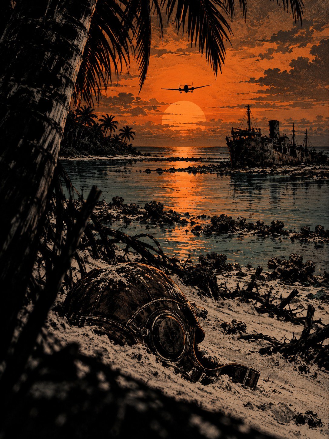
Today, the lagoon at Nikumaroro is quiet again. The expedition has gone home. The Y-shaped tree is just a tree.
Here is what is actually known. Amelia Earhart and Fred Noonan disappeared on July 2, 1937, flying toward Howland Island. The search that followed found nothing. The Taraia Object, the best-known new lead of recent years, turned out most likely to be large trees with a carbonate coating.
Here is what is still unknown. Whose bones were found on the island in 1940. What the pilot Lambrecht really saw. What the 30-inch steel tube is. Whether the plane lies on the seafloor near Howland or somewhere no one has looked.
One theory says she came down at sea. Another says she reached the island and lived there as a castaway.
Neither has been proven. The plane has not been found.
Wherever Amelia Earhart came down, she is still out there.
Case notes: a tree, a steel tube, and an 89-year-old search
Amelia Earhart and navigator Fred Noonan left Lae, New Guinea, on July 2, 1937, bound for Howland Island in a Lockheed Electra 10-E. They had covered some 22,000 miles of a planned 29,000-mile trip (Britannica). Howland is roughly two miles long and half a mile wide (TIGHAR). The last transmission the Coast Guard cutter Itasca heard, at 8:43 a.m., placed the plane “on line 157-337 and running north and south,” with no reference point (National Archives).
The October 2026 expedition was led by the Archaeological Legacy Institute (ALI) of Eugene, Oregon, with Purdue University as co-lead (AP). Purdue’s interest is personal. Earhart worked there from 1935 to 1937, and the Purdue Research Foundation paid for the Electra she meant to bring back (Newsweek).
The result was a clean test of one hypothesis, not of the whole castaway theory. Purdue says the object was “likely a collection of large trees deposited along the peninsula’s sandspit,” and that its shine came from “its carbonate veneer” (Purdue).
Timeline
| Date | What happened |
|---|---|
| July 2, 1937 | Earhart and Noonan leave Lae; last transmission heard by Itasca at 8:43 a.m. (National Archives) |
| July 7-12, 1937 | Three floatplanes from the battleship USS Colorado search around Howland and the Phoenix Islands (Navy History) |
| July 9, 1937 | Colorado planes fly over Gardner Island, now Nikumaroro (TIGHAR) |
| Mid-July 1937 | Carrier USS Lexington takes over with 63 aircraft; the search is then called off (Navy History) |
| Jan. 5, 1939 | Earhart declared legally dead (Purdue Archives) |
| 1940 | Human bones and artifacts found on Gardner Island; the bones were later lost (Newsweek) |
| April 27, 2015 | The shape first appears in satellite imagery, shortly after Cyclone Pam (ALI) |
| 2020 | Researcher Michael Ashmore notices it in an Apple Maps image (ALI) |
| Nov. 2024 | Deep Sea Vision says its January 2024 sonar “plane” was a rock formation (Flying) |
| July 2, 2025 | Expedition announced; later postponed to 2026 (AeroCorner) |
| Oct. 6-12, 2026 | Team of 17 leaves Tarawa and reaches Nikumaroro after five days at sea (Purdue) (AP) |
| Oct. 18-19, 2026 | Results announced: the object is most likely trees (AVweb) |
What the sources agree on, and where they don’t
| Detail | Source A says | Source B says |
|---|---|---|
| Size of the 1937 search | 250,000 square miles, “an area the size of Texas,” per Lexington pilot Francis Foley (Smithsonian) | About 240,000 square miles for Lexington, plus more than 25,000 for Colorado (We Are The Mighty) |
| Length of the 1937 search | About two weeks (Purdue) | About nine days (Purdue Archives); Foley dates Lexington’s part to July 13-23 (Smithsonian) |
| Gardner Island flyover, July 9, 1937 | Pilot John Lambrecht: “signs of recent habitation were clearly visible” (TIGHAR) | Captain Friedell’s official report: no one seen, no signs of habitation (TIGHAR) |
| The 1940 bones | A physician in Fiji judged them probably male (Newsweek) | A 2018 analysis suggests a woman of Earhart’s stature (Purdue) |
| Date of the announcement | Sunday, Oct. 18 (AeroCorner) | Monday, Oct. 19 (AVweb). Both fit: Nikumaroro is 17 hours ahead of Eastern time (Purdue) |
Details most coverage missed
The object was young. ALI’s own review of 26 satellite images from 2009 to 2021 found the shape first appears on April 27, 2015, shortly after Cyclone Pam (ALI). ALI argued against the tree explanation before the trip. TIGHAR co-founder Ric Gillespie had already suggested a fallen tree (AVweb).
Something else came out of the lagoon. The team recovered a steel tube about 30 inches long near the Taraia Peninsula. Purdue has not identified it. Researchers will study whether objects drift through the Tatiman Passage and collect on the peninsula (Purdue). Four Kiribati representatives were on the 17-person team, along with two maritime archaeologists and four filmmakers (Purdue).
The 1937 search area dwarfs every modern one. Nauticos and the Waitt Institute together have sonar-surveyed about 3,610 square miles near Howland (UPI). Deep Sea Vision reports about 7,700 (Flying). Both are small next to the roughly 250,000 square miles scanned from the air in 1937. Texas covers about 268,600 (Britannica).
The smoke went unseen. Purdue’s archive notes that Itasca generated smoke for the fliers, but they apparently never saw it (Purdue Archives).
What we still don’t know
- What the 30-inch steel tube is, and how long it has been in the lagoon (Purdue).
- Whose bones were found in 1940. The remains were lost, so the debate rests on old measurements (Newsweek).
- Whether the Bevington Object, a reef photo from about three months after the disappearance, really shows landing gear (Purdue).
- What Lambrecht saw on Gardner Island, since the official report contradicts him (TIGHAR).
- Whether Nauticos can raise the $8 million to $10 million it seeks for another search near Howland (AP).
- Where Purdue and ALI will look next. Purdue says only that the search continues (AVweb).
Case file summary
- Missing since: July 2, 1937, central Pacific, en route from Lae to Howland Island
- Aircraft: Lockheed Electra 10-E, bought with Purdue Research Foundation funds
- 1937 search: Navy and Coast Guard, roughly 250,000 square miles, nothing found
- 2026 expedition: Archaeological Legacy Institute and Purdue University, 17 people, Oct. 6-19, 2026
- 2026 target: The “Taraia Object,” Nikumaroro lagoon, Kiribati
- Result: Most likely large trees with a carbonate coating, not aircraft wreckage; an unidentified 30-inch steel tube recovered
- Earlier searches: Ballard (2019, Nikumaroro) found nothing; a 2024 Deep Sea Vision sonar shape near Howland Island turned out to be rock
- Status: Still missing
Illustrations are artistic interpretations, not expedition photos or sonar images. No real person has a recognizable face.
Related files
- Police Said They Found Shayna Feinman Alive in Mexico. The Next Day, It Wasn’t Her
- The Tylenol Murders: Seven Dead in Chicago, 31 Million Bottles Recalled, and Still No Killer
- The Hole in the Roof: The Unsolved Death of Rey Rivera (2006)
Illustrations are AI-generated artistic interpretations, not photos. No real person is depicted with a recognizable face. Read how we research and illustrate these files.
Sources
- Purdue University: Search for Amelia Earhart’s plane continues after Taraia Object expedition on Nikumaroro rules out latest hypothesis
- AP via ABC30: Expedition to a remote Pacific island fails to find fresh clues in hunt for Amelia Earhart’s plane
- AVweb: Earhart expedition rules out wreckage
- AeroCorner: Purdue expedition rules out the Taraia Object
- Newsweek: Amelia Earhart search setback as expedition rules out Taraia Object theory
- Archaeological Legacy Institute: The Taraia Object
- National Archives (DocsTeach): Radio log of the last communications of Amelia Earhart
- Naval History and Heritage Command: Naval aviation and the search for Amelia Earhart
- Smithsonian Air & Space: The search for Amelia Earhart
- We Are The Mighty: How the Navy and Coast Guard frantically searched for Amelia Earhart
- Purdue University Archives: Disappearance and search, 1937-1938
- TIGHAR: The Colorado search
- TIGHAR: Howland Island
- UPI: Nauticos plans new search for Amelia Earhart
- Flying: Sonar image once thought proof of missing Earhart plane is actually a rock formation
- Britannica: Amelia Earhart
- Britannica: Texas summary